
Perseid Meteor Shower Dazzles North Texas Under Clear, Hot Skies
North Texas skygazers can anticipate a spectacular display as the annual Perseid meteor shower peaks overnight Wednesday into Thursday. Clear skies and a new moon offer ideal viewing conditions, contrasting with persistent triple-digit heat and high fire danger.

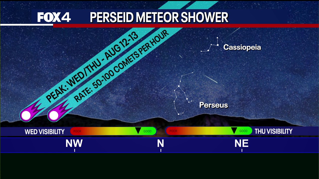
Skywatchers in North Texas are poised for an exceptional celestial event as the annual Perseid meteor shower reaches its peak performance overnight Wednesday into Thursday morning. The region is set to experience ideal viewing conditions, with clear skies and a new moon phase promising minimal light interference for optimal observation of the "shooting stars." Peak activity is anticipated between 10 p.m. Wednesday and 5 a.m. Thursday.
Unlike the previous year, when a bright moon diminished the visibility of fainter meteors, this year's event coincides with a new moon. This astronomical alignment will leave the night skies predominantly dark, enhancing the spectacle. While isolated meteors have already been spotted early Wednesday, astronomers expect a significant surge in frequency during the overnight peak. The most advantageous viewing position will be toward the northeast, approximately 40 degrees above the prominent Perseus constellation. Experts advise moving away from urban light pollution to maximize the visibility of the meteor shower.
A Celestial Spectacle Amidst Extreme Heat
The meteor shower offers a brief, awe-inspiring distraction from the relentless heat wave gripping North Texas. A persistent high-pressure system over the state continues to drive afternoon temperatures well above 100 degrees Fahrenheit. The forecast for the Dallas-Fort Worth International Airport predicts a high of 101 degrees. Despite breezy conditions and drier air, which have kept official heat advisory thresholds just below National Weather Service criteria, prolonged exposure to these extreme temperatures remains a significant hazard.
The confluence of low humidity, consistent gusty winds, and nearly 30 consecutive days without rainfall has critically elevated fire danger across the area. The dry, stressed vegetation presents a heightened risk, where even minor sparks could rapidly ignite and spread. Fire officials are urging extreme caution over the next 72 hours. Morning low temperatures are expected to remain around 80 degrees, with a swift return to triple-digit highs throughout the rest of the week, as the stagnant weather pattern shows no signs of immediate relief. The persistent heat and dry conditions are a stark reminder of the ongoing climate challenges facing the region.