
Massive 2D Universe Map Unveiled After 13-Year Project
A colossal 2D map of the universe, comprising 5.6 trillion pixels from 263,407 photographs, has been released after a 13-year effort by astronomers using NSF NOIRLab telescopes.

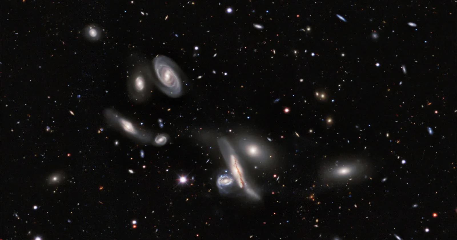
An unprecedented 2D map of the cosmos, billed as the largest of its kind ever created, has been unveiled by astronomers. The vast celestial atlas, built over 13 years using a pair of National Science Foundation (NSF) NOIRLab telescopes, encapsulates nearly 75 percent of the observable sky and details almost four billion celestial objects. The project culminated in the creation of a staggering 5.6-trillion-pixel mosaic, pieced together from 263,407 individual telescope photographs.
The monumental undertaking leveraged the NSF Mayall telescope and the NSF Blanco telescope, the latter equipped with the Department of Energy-fabricated Dark Energy Camera. This powerful 570-megapixel instrument enabled the capture of an immense dataset, cataloging everything from distant stars and galaxies to nebulae and even asteroids. Over 160 scientists contributed to the analysis and compilation of this data, which now forms a foundational resource for astronomical research.
"It’s part of the fabric of astronomy research now," stated David Schlegel, co-lead of the Legacy Surveys and a scientist at the Department of Energy’s Lawrence Berkeley National Laboratory. "When you’re working with astronomical objects today, you often start by pulling up the Legacy Imaging Viewer to see what you’re looking at." The new map provides unparalleled views of the sky in both visible and near-infrared light. The near-infrared capability is particularly crucial, allowing researchers to peer through the dense dust and stars of the Milky Way and observe deeper into the universe.
A Foundation for Future Discovery
This expansive dataset is not merely an archival achievement; it is designed to propel future investigations. Researchers anticipate that the map will serve as the most comprehensive 2D representation of the universe for the foreseeable future. "Explorations of our Universe always start with images of the night sky. The DESI Imaging Legacy Surveys are just one step in this venerable human tradition," commented Arjun Dey, an NSF NOIRLab astronomer and co-lead of the Legacy Surveys. "For our team, these data are fundamental to the investigation of the expansion history of the Universe and the formation of our galaxy. But the skies belong to everyone, and this survey gives everyone the chance to marvel at their wonders."
The DESI Legacy Imaging Surveys were initially conceived as a preparatory phase for the ambitious Dark Energy Spectroscopic Instrument (DESI) survey. The 2D map serves as a crucial precursor, offering a detailed 'photograph' of the sky that highlights the locations and luminosities of galaxies and stars. This information is vital for DESI's objective of selecting target objects and constructing a precise 3D map of the universe. That 3D map aims to unravel the mysteries of dark energy, the enigmatic force driving the universe's accelerated expansion.
The DESI survey itself recently concluded its mission ahead of schedule in April 2026, having successfully mapped over 47 million galaxies and quasars. As scientists meticulously analyze the data from DESI, the Legacy Surveys will continue to be an indispensable reference point. Its utility is expected to extend to the next generation of advanced observatories, including the forthcoming NSF-DOE Vera C. Rubin Observatory, which boasts an extraordinary 3.2-gigapixel camera. The comprehensive nature of this 2D map ensures its lasting impact on our understanding of the cosmos.