
ISRO Satellite Films Mount Ruang Eruption in Stunning Time-Lapse
An ISRO satellite has captured a dramatic time-lapse video of the recent Mount Ruang volcanic eruptions in Indonesia, showcasing the raw power of nature.

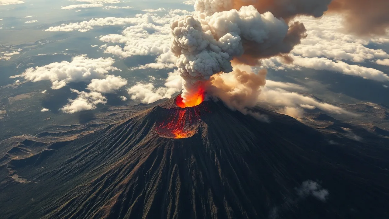
An advanced satellite jointly developed by the Indian Space Research Organisation (ISRO) and NASA has successfully captured a compelling time-lapse video of the recent volcanic activity at Mount Ruang in Indonesia. The footage, released on September 25, 2026, offers a unique perspective on the explosive power of the eruption, condensing days of activity into a few dramatic minutes.
The satellite, part of the NASA-ISRO Synthetic Aperture Radar (NISAR) mission, was positioned to monitor Earth's surface changes. Mount Ruang, a stratovolcano located in North Sulawesi, Indonesia, experienced a series of significant eruptions starting on April 16, 2026, forcing thousands of residents to evacuate and leading to airport closures due to the ash cloud.
This NISAR satellite, designed for high-resolution imaging, provided unprecedented detail of the volcanic plume's expansion and ash dispersal. Scientists are using the data to better understand the dynamics of volcanic eruptions and their impact on the atmosphere and surrounding regions. The time-lapse compilation highlights the rapid ascent of ash and gas into the atmosphere, followed by the wider spread of the plume over several kilometers.
Monitoring Volcanic Activity and Disasters
The ability to capture such events from space is crucial for disaster management and scientific research. Dr. Anya Sharma, a volcanologist at the U.S. Geological Survey, noted the significance of the data. "Observing an eruption like Mount Ruang unfold from orbit allows us to track the scale and trajectory of ash clouds with remarkable precision," Dr. Sharma said. "This is vital information for aviation safety and for predicting potential lahars or secondary hazards."
The Mount Ruang eruption prompted Indonesia's Center for Volcanology and Geological Hazard Mitigation (PVMBG) to issue its highest alert level. The plumes reached altitudes of up to 19,000 meters (62,000 feet), leading to the closure of Sam Ratulangi International Airport in Manado, a major transportation hub, for several days. The satellite's imaging capabilities can help authorities monitor the ash cloud's movement, allowing for timely warnings and evacuations if necessary.
The NISAR mission is a collaborative effort between NASA and ISRO, aimed at observing Earth using a dual-frequency radar. This mission is designed to provide insights into Earth's changing environment, including land surface changes, ice sheet mass, and sea surface height. Its successful deployment and ability to capture detailed imagery of natural disasters underscore its value for both scientific understanding and practical applications in disaster response. The data gathered from this eruption will contribute to a growing body of knowledge on volcanic phenomena.